GeoMesa 3.0: Cheaper, Faster, Better
Technology follows a common story arc. First, technology is created that makes it possible to do something that was previously impossible. Next, incremental improvements to that technology improve the performance of that task in a number of ways. In its first major release, LocationTech GeoMesa added the ability to store and process voluminous vector data in distributed databases such as Accumulo and HBase. GeoMesa 2.x saw improvements in the indexing API and allowed for more powerful configurations and deployments. GeoMesa 3.0 has just been released; while the release notes have the full details, we want to highlight a few things from the release.
What’s New in GeoMesa 3.0?
One new feature to highlight is support for Accumulo 2.0. This release of Accumulo adds great new features such as support for AWS S3 and scan executors. Deploying Accumulo using cloud storage like AWS S3 (or Azure’s blob storage) greatly reduces the cost of a cloud deployment when compared with Amazon’s Elastic Block Storage (EBS). HBase has already provided support for cloud storage, and GA-CCRi’s hosted, enterprise GeoMesa platform Optix has been powered by HBase on S3 for over a year.
In the preparation of GeoMesa 3.0, we also performed a round of stress and load testing for both the HBase and Accumulo backends. This improved our understanding of how concurrent requests to the GeoServer geospatial data server affect the backend databases. Our findings led us to improve how queries are managed, making GeoMesa 3.0 more stable and performant.
Looking to the Future
GeoMesa 3.0 focuses on improving the data persistence capabilities of GeoMesa. The GeoMesa ecosystem also helps with data management, streaming of geospatial data, and analysis of that data. As we move forward, we have some projects in the works aimed at improving streaming processing and analysis using Apache Spark. If you are interested in contributing to GeoMesa or have questions about it, feel free to join the GeoMesa mailing list or ask questions on Gitter.
GeoMesa for Enterprise: Optix
GeoMesa is an open source project, and we are pleased to see it work with a number of different backends—each with different capabilities—that can be deployed on premise or using various cloud vendors.
We at GA-CCRi began the GeoMesa project to address our need to scale up our predictive analytics into the cloud. Over the years since then we have gained a tremendous amount of experience deploying and managing distributed databases, ingesting trillions of records, and providing our customers with custom work to build complete solutions. We have evolved those best practices, deployment methods, and support for quick value from geospatial data into the Optix platform. Optix provides an enterprise experience of GeoMesa and several other open source tools so that customers can focus on their mission. Optix also offers visualization for easier understanding of data and analytical tools to support AI/ML methods for building insights.
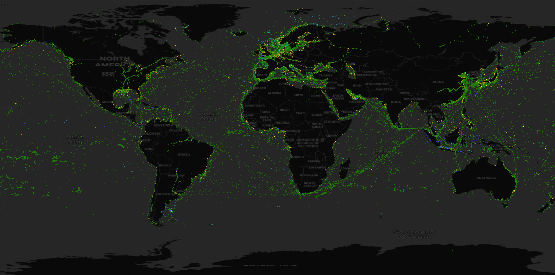
Below we see live global shipping data (courtesy of exactEarth) as displayed by Optix, powered by GeoMesa: